


The use of Global Positioning System (GPS) technology is changing property valuation practice in Nigeria by improving location accuracy, field data collection and due diligence.
Property valuation depends heavily on reliable information.
Before a valuer can determine the value of a property, important facts must be established. These include its location, size, physical characteristics, accessibility, neighbourhood and surrounding land uses.
Traditionally, much of this information was collected through physical inspection, manual measurements, sketches and written field notes.
However, technological developments are changing how estate surveyors and valuers undertake these assignments.
GPS now provides practitioners with a practical tool for capturing geographical coordinates and confirming the precise location of properties.
Research on valuation practice in Nigeria has identified errors in manual measurements and calculations as contributors to variations in valuation outcomes. Studies have consequently recommended automated technologies, including GPS, AutoCAD and Google Earth Pro, to improve measurement accuracy.
What Is GPS and Why Does It Matter to Valuers?
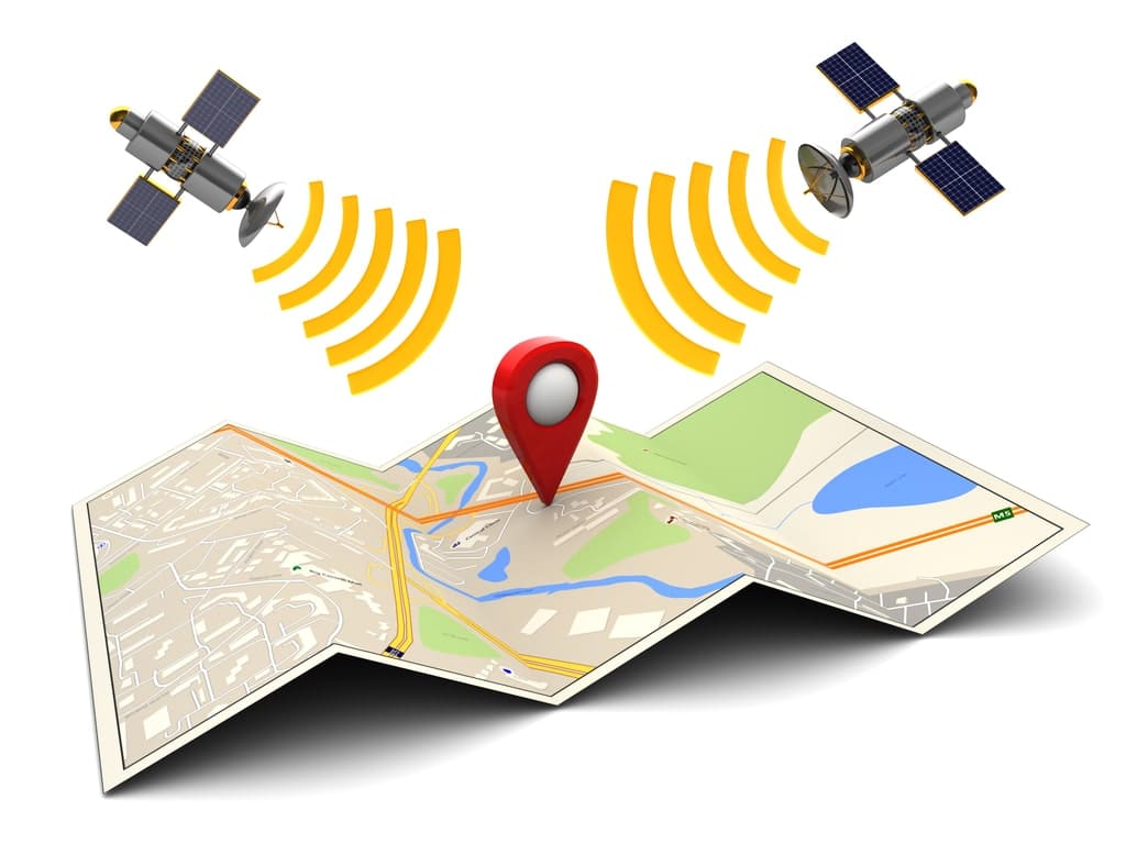
The Global Positioning System is a satellite-based positioning system that enables users to determine their geographical location.
A GPS-enabled device can provide coordinates, including latitude and longitude, which can be used to identify a property’s location.
For estate surveyors and valuers, this information can become an important part of the property’s inspection record.
Instead of relying solely on written descriptions such as street names, landmarks or nearby properties, the valuer can record the geographical coordinates of the inspected asset.
The coordinates can subsequently be used with mapping and Geographic Information System (GIS) applications.
This creates a digital location reference that can support future inspections, valuation reviews and property identification.
The University of Ibadan’s estate management curriculum, for example, includes the use of site coordinates and GPS waypoints through GIS as part of practical valuation and estate management activities.
GPS Can Improve Property Identification
One of the most important applications of GPS in valuation is property identification.
A valuation report should provide sufficient information for the subject property to be identified and distinguished from surrounding properties.
This becomes particularly important in densely developed urban areas.
Two properties may have similar addresses, while informal descriptions can create uncertainty about the precise location.
Recording GPS coordinates gives the valuer an additional layer of identification.
The coordinates can also be incorporated into digital maps and valuation databases.
For properties located in developing areas, rural communities or locations with inconsistent addressing systems, this can be especially useful.
GPS and Property Measurement
Measurement is another area where technology can support valuation practice.
Manual measurement remains useful and may be required for detailed building or site assessments.
However, digital positioning technologies can provide additional spatial information.
A Nigerian study examining cost valuation variance found that errors in manual measurements and calculations of areas, volumes and dimensions contributed to differences among valuation outcomes. The study recommended automated technologies such as GPS, AutoCAD and Google Earth Pro as tools that could help minimise measurement-related variance.
GPS should not therefore be viewed as a complete replacement for professional surveying equipment.
Rather, it can complement other measurement methods.
Where precise boundary determination is required, a qualified surveyor and appropriate geodetic equipment may still be necessary.
That distinction is important because ordinary GPS devices and smartphone positioning systems do not necessarily provide the survey-grade accuracy required for every land-related assignment.
Combining GPS With GIS
The real value of GPS becomes greater when it is combined with Geographic Information System technology.
GPS provides location data.
GIS provides a framework for storing, analysing, displaying and comparing spatial information.
Together, the technologies can help valuers analyse properties within their geographical context.
A valuer could, for example, map a property and examine its proximity to roads, commercial centres, schools, markets, industrial areas and other relevant features.
The technology can also assist in comparing properties within the same neighbourhood.
Research on GIS application in property valuation in Port Harcourt found that estate surveyors and valuers were aware of the potential benefits of GIS, although actual adoption among surveyed firms was relatively limited. The study identified training and technical capacity as important factors affecting adoption.
GPS Strengthens Valuation Due Diligence
Due diligence is a critical part of professional valuation.
A valuer needs to establish whether the information provided about a property corresponds with what exists on the ground.
GPS can contribute to that verification process.
For example, coordinates captured during inspection can be compared with available maps, cadastral information and other spatial datasets.
This can help identify inconsistencies in property descriptions.
It can also provide an additional record showing where an inspection took place.
However, GPS coordinates should not be treated as conclusive evidence of legal ownership or title.
Ownership and boundary questions require examination of appropriate title documents and, where necessary, professional land surveying and legal verification.
GPS is therefore a due-diligence tool, not a substitute for the entire due-diligence process.
GPS Can Improve Valuation Documentation
A modern valuation report can contain more than written descriptions and photographs.
Where appropriate, GPS coordinates can become part of the property’s digital record.
The information may include:
- Latitude and longitude.
- Date and time of inspection.
- Site photographs.
- Digital maps.
- Property identification details.
- Relevant GIS layers.
- Inspection notes.
This creates a stronger audit trail for the valuation assignment.
It can also make subsequent reviews easier.
If another professional needs to revisit the property, the recorded coordinates can provide a useful starting point.
World Bank-supported land and asset survey documentation in Nigeria has also demonstrated the practical use of handheld GPS devices for capturing coordinates during field assessments.
GPS Can Support Comparable Property Analysis
Comparable evidence is central to many property valuation assignments.
The location of a property is one of the factors that determines whether another property is genuinely comparable.
GPS and GIS can help valuers organise comparable properties geographically.
Instead of maintaining only written lists of comparable transactions, practitioners can develop spatial databases.
Such databases can help identify properties within defined geographical areas.
The valuer can then consider differences in location, accessibility, neighbourhood characteristics, land use and other relevant factors.
This approach can improve the organisation of market information.
However, technology cannot eliminate the need for professional judgement.
A nearby property is not automatically a suitable comparable.
The valuer must still consider differences in size, quality, use, tenure, condition, location and transaction circumstances.
Nigeria’s Geospatial Infrastructure Provides Opportunities
Nigeria has also developed geospatial infrastructure that supports more sophisticated positioning applications.
The Nigerian GNSS Reference Network, known as NIGNET, consists of continuously operating reference stations that contribute to Nigeria’s geodetic infrastructure and reference framework.
Research assessing NIGNET found that its positioning accuracy compared favourably with the international reference station used in the study. However, the researchers also identified deficiencies in network adequacy.
This highlights both the opportunities and limitations surrounding geospatial technology in Nigeria.
Better positioning infrastructure can support professionals working in surveying, mapping, valuation, construction, land administration and related fields.
At the same time, reliable infrastructure, technical expertise and access to appropriate equipment remain necessary.
Limitations of GPS in Valuation Practice
Despite its benefits, GPS does not automatically guarantee an accurate valuation.
Several factors can affect positioning accuracy.
These include the quality of the device, satellite visibility, atmospheric conditions, signal obstruction and the positioning method used.
Urban environments can create additional challenges because tall buildings may interfere with satellite signals.
There are also differences between consumer GPS devices, smartphone positioning systems and professional GNSS equipment.
For high-precision cadastral or boundary work, specialised equipment and professional surveying procedures may be required.
Recent research on positioning in Gwagwalada, Abuja, also highlighted challenges involving Continuously Operating Reference Station availability and access to GNSS control points.
Therefore, valuers must understand the accuracy limitations of the technology they use.
Professional Expertise Remains Essential
Technology should support professional judgement rather than replace it.
A GPS device can establish coordinates.
It cannot independently determine market value.
It cannot assess building condition, analyse rental evidence, interpret complex title arrangements or determine the appropriate valuation approach.
Those responsibilities remain within the professional competence of the valuer.
The strongest approach is therefore to combine technology with professional knowledge.
GPS can provide accurate spatial information, while the valuer interprets that information alongside market evidence, physical inspection, legal documentation and valuation principles.
The Future of Digital Valuation in Nigeria
The future of valuation practice in Nigeria is likely to become increasingly digital.
GPS, GIS, digital mapping, cloud databases, property management software, artificial intelligence and other technologies are already entering the profession.
A recent review of technology adoption in Nigerian estate surveying and valuation noted growing use of GPS, GIS, smartphones, digital mapping and property management applications. It also identified challenges including inadequate digital infrastructure, limited technical expertise and fragmented property databases.
The challenge is therefore not simply acquiring technology.
Professional bodies, universities, firms and regulators also need to support appropriate training and standards.
Valuers need to understand how to collect, verify, store and interpret spatial data.
They must also understand the limitations of digital information.
GPS as a Tool for More Defensible Valuations
The growing use of GPS presents an opportunity to strengthen valuation practice in Nigeria.
Its ability to provide geographical coordinates can improve property identification and field documentation.
When combined with GIS, it can also support spatial analysis and comparable-property research.
More importantly, GPS can contribute to a stronger due-diligence process by creating an additional layer of verifiable location information.
Yet accuracy should not be confused with certainty.
A GPS coordinate does not establish ownership, and digital measurement does not eliminate the need for professional inspection.
The most effective use of GPS in Nigerian valuation practice is therefore as part of an integrated professional workflow.
When combined with reliable market evidence, appropriate surveying methods, title verification, GIS analysis and professional judgement, GPS can help produce valuation reports that are more transparent, traceable and defensible.